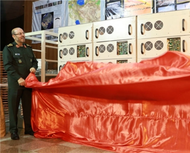
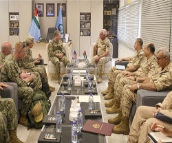
Iranian Defense Minister Brigadier General Hossein Dehqan unveiled three new home-made products in Tehran on Wednesday (photo), Fars News Agency (FNA) reported.
These include 1-MW national GPS system, robotic vacuum plasma coating and vacuum arc remelting furnace which have all been designed and built by Iranian researchers at Malek-e Ashtar University.
General Dehqan said that the 1-MW national GPS system is a reliable substitute for the GPS which can be used in critical conditions.
He added that the robotic vacuum plasma coating is one of the laboratorial equipment used in different research processes, turbines and jet engines that has the capability to resist high temperatures.
General Dehqan also said that the vacuum arc remelting furnace can be used for melting and purification of titanium, remelting the super alloys and special steels and can be operated both manually and automatically.
In a relevant development in February, General Dehqan unveiled 4 products of the defense industry and inaugurated the production line of a key medicine that fights the effects of chemical elements.
The new achievements included “Pars Kam” detector system that tracks chemical substances dangerous to health, a new system that can detect explosives and drugs, anti-strike and explosion-proof polymer coatings, a new generation of NBC protective clothes based on Travagzin membranes, as well as the production line of Obidoxime chloride medicine that fixes the effects of chemical substances on the body.
Dehqan said the Defense Ministry will continue to design, invent and produce modern equipment and products for protection of its armed forces.
Also in February, the Defense Ministry had unveiled 7 national geographic projects.
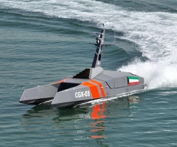
The projects included a remote defense lab - national spectral sensing, first unmanned smart hydrography Fajr 1 (Dawn 1), coastal development of Makran, production line of digital marine maps, digital geomorphology maps, magnetic marine measuring systems, climate database, and geographic data production line using drone images.
“The Fajr 1 hydrography is a remote control system, able to transmit data and image, GPS, measure depths, advance multi-beam systems, and side scan sonar and radar data,” Dehqan said.
On the applications of digital maps of geomorphology system, he said they can be used in scientific and research projects, as well as in geography, environment, construction, development, agriculture, defense logistics, civil defense, and military affairs.
According to Dehqan, the database on climate will be used for military and defense purposes, including in tarmacs, military drills, and troop deployments.

