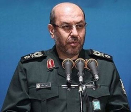
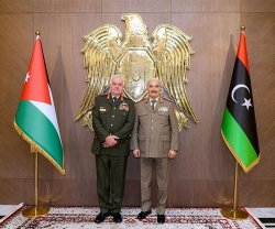
Iranian Defense Minister Brigadier General Hossein Dehqan (photo) in a ceremony in Tehran on Sunday unveiled 7 national geographic projects, Fars News Agency (FNA) reported.
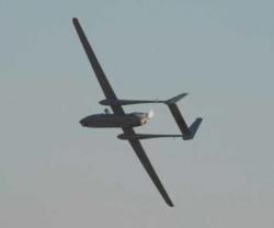
The projects include a remote defense lab - national spectral sensing, first unmanned smart hydrography Fajr 1 (Dawn 1), coastal development of Makran, production line of digital marine maps, digital geomorphology maps, magnetic marine measuring systems, climate database, and geographic data production line using drone images.
“The Fajr 1 hydrography is a remote control system, able to transmit data and image, GPS, measure depths, advance multi-beam systems, and side scan sonar and radar data,” Dehqan said
On the applications of digital maps of geomorphology system, he said they can be used in scientific and research projects, as well as in geography, environment, construction, development, agriculture, defense logistics, civil defense, and military affairs.
According to Dehqan, the database on climate will be used for military and defense purposes, including in tarmacs, military drills, and troop deployments.

